The full synthesis map from five days of the virtual GCSE+Drawdown conference.
Once again for the people in the back, you CAN have an interactive and participatory virtual conference with over 3,000 participants from all over the world!
In early January (let’s talk about how these folks know how to start a new year!), the Global Council for Science and the Environment (GCSE), and Project Drawdown brought together researchers, leaders, and community members to learn, share, and create solutions for people and planet.
As a visual thought partner for the virtual event, I wanted create ways that graphics could support meaningful work with the huge number of participants and volume of content. There were eight Thematic Pathways with concurrent sessions, and more than 50 simultaneous Collaborative Action Groups which emerged from brainstorming sessions over the course of the week.
How could we work together to look for patterns and themes across multiple, very full days?
How could we make sure participants could see their ideas emerging throughout the week?
And how do this as just one recorder?
We needed a plan!
The organizing team and I collaborated before and during the conference to develop communication systems, like a designated note-taker in each Pathway with access to a shared Google Doc template for key ideas. I could then distill and illustrate these notes, and combine them with insights from real-time graphics of plenary panels and keynotes (these drawings were included in the final piece as well).
Communication of key ideas? Check.
We decided to use Miro as a virtual platform to host the emerging map. Similar to shared Google Docs or Slides, with a shared link we dropped into the chat each day, participants could view the Synthesis from start to finish throughout the week. They could zoom in to see details in graphics I had drawn real-time in plenaries, or zoom out for the overall flow, and could share it with others they thought would be interested.
Participant observation? Check!
The result was a massive Synthesis Illustration mapping how research feeds action for climate solutions, which participants could SEE AS IT GREW throughout the week on the conference website’s gallery, as well as via the link shared frequently in the chat box throughout the conference.
So, what emerged as key themes for science and solutions for people and planet? Explore for yourself! For me, a theme I’ve hear not only at GCSE+Drawdown, is that for these solutions to work, it comes down to one thing: people working together.
Once again, thank you from my heart and soul for your support, great senses of humor, brilliant minds, collaboration and what you're each doing to make the world a better place.
Cheers,
Where in the Virtual World is ConverSketch?
Adobe Creative Campus Collaboration: Learning from creative educators and students how to nurture the “magician” in each potentially creative student.
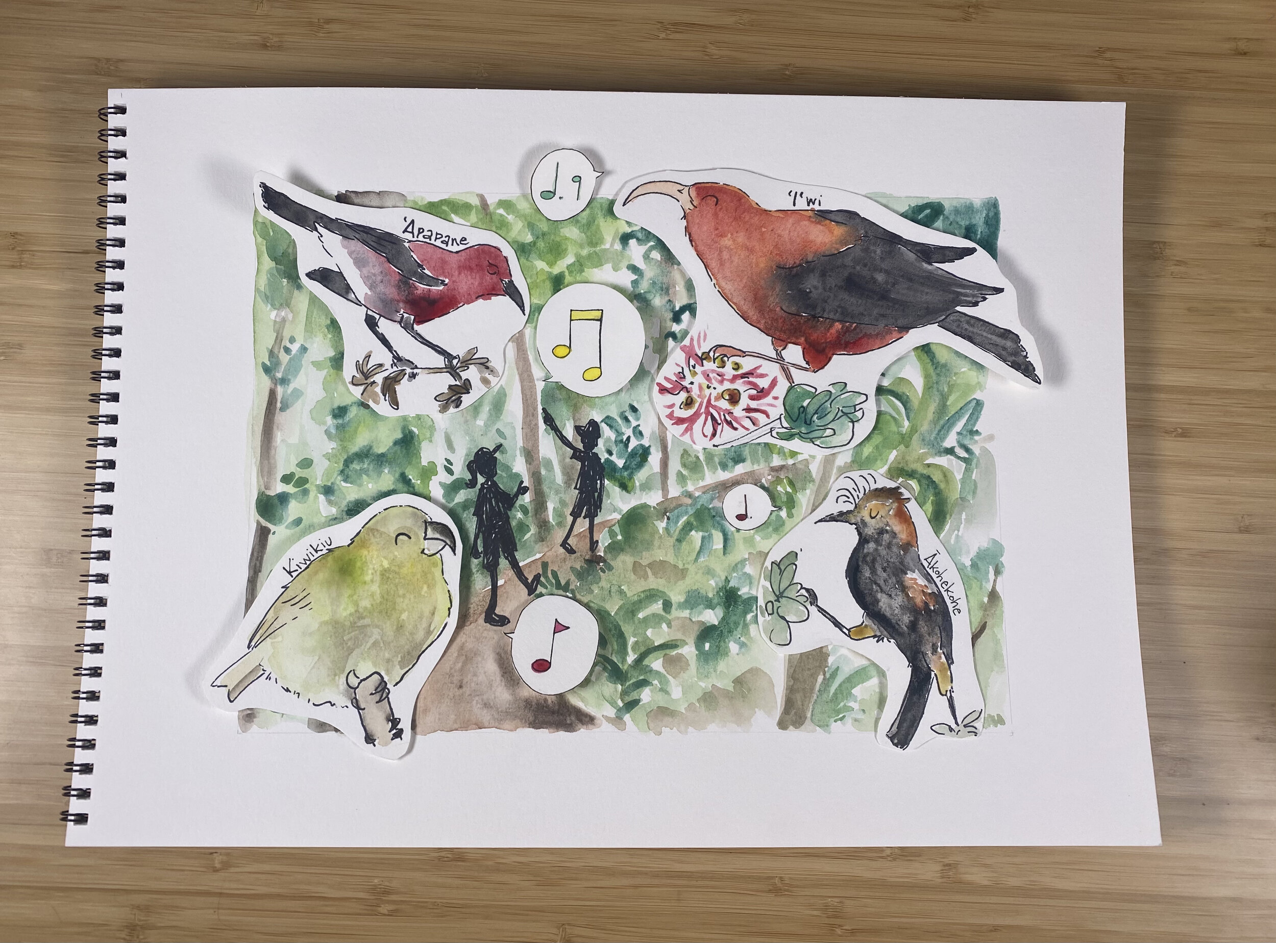
Filming a New Drawing Connections Video: Did you know that mosquitos are not native to Hawai’i? In the newest video with the NPS, I can’t wait to take you through a journey of endangered birds, avian malaria, and climate change.
Natural Areas Strategic Vision: I’m delighted to finally be able to share this studio illustration created last year in partnership with the City of Greeley’s Natural Areas program, showing the history of the land, input from the community, and vision for the future.


